Meteorites in Kentucky?
Kentucky Geological Survey Meteorite Database
The Kentucky Geological Survey’s meteorite collection contains meteorites from more than 200 locations throughout the world, thanks to the generosity of William and Mary Ann Russell, Louisville, Ky., and Dr. William Ehmann, Lexington, Ky. Read more
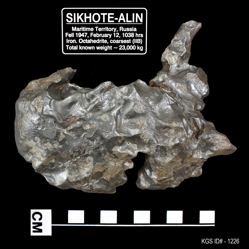
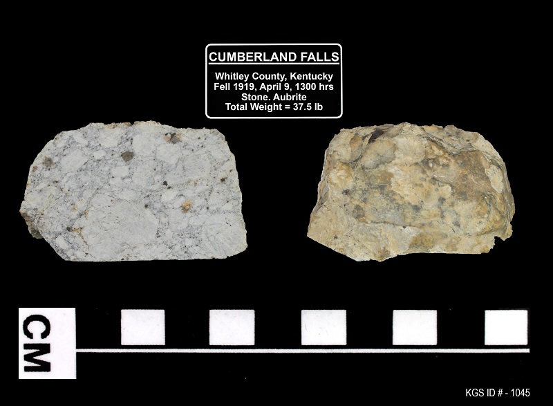
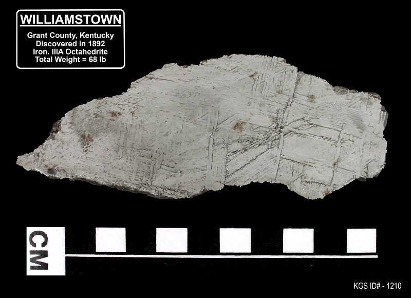
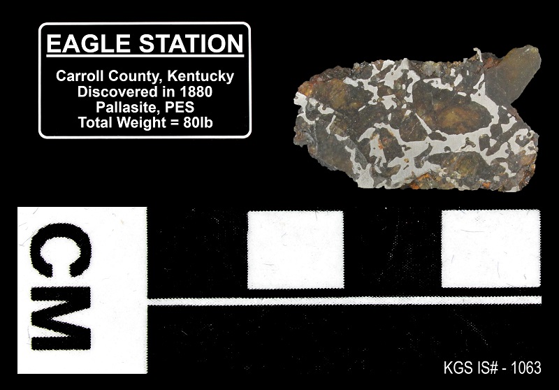
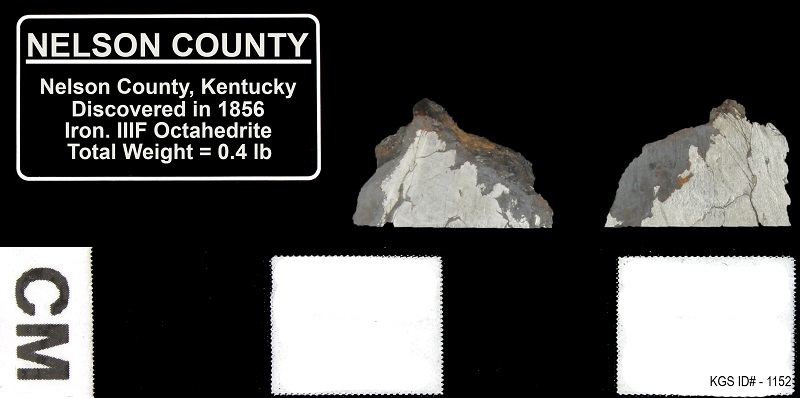
A meteorite is a fragment of stony or metallic interplanetary rock thought to have formed in the asteroid belts billions of years ago when the earth and solar system were first formed. Meteorites are classified as irons (siderites), stones (chondrites), and stony irons (pallasites). Each classification is subclassified; stones are the most common, but irons are the most recognizable. Stony meteorites can look like rocks, and pallasites contain olivine xenocrysts. Irons generally have a distinctive pattern of interlocking crystals (called a Widmanstatten pattern) that is very visible when the meteorite is cut, polished, and etched; the pattern is indicative of iron meteorites.
At least 27 small meteorites have impacted Kentucky during recorded times. Meteorites have been collected from Allen, Bath, Bullitt, Calloway, Carroll, Casey, Christian, Grant, Franklin, Jefferson, Lincoln, Livingston, Marshall, McCreary, Metcalfe, Nelson, Oldham, Pike, Simpson, Taylor, and Trimble Counties. Another unconfirmed report of a meteorite has come from Lewis County. The earliest recorded meteorite in Kentucky fell in 1839 in Livingston County. One of the most recent was the Burnwell meteorite, which fell in Pike County in 1990.
Kentucky Meteorites
Most meteorites that impact the United States are collected and housed in the National Museum meteorite collection at the Smithsonian Institution in Washington, D.C. Fragments of 10 Kentucky meteorites were collected by Dr. William D. Ehmann, professor emeritus of the Chemistry Department at the University of Kentucky and a nationally recognized researcher on meteorites and moon rocks. Dr. Ehmann donated his collection to the Kentucky Geological Survey, where it became the cornerstone of the KGS collection. In 2014, the William G. Russell Family of Louisville donated a large collection of meteorites from all over the world to KGS; the collection is housed in the foyer of the Mining and Mineral Resources Building at the University of Kentucky in Lexington.
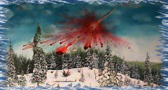
When small meteorites hit the earth, the damage they cause is usually minimal. But large meteorites can create huge craters and have dramatic consequences. The impact structures left behind are called astroblemes. Although only small meteorites have impacted Kentucky in human history, there are three astroblemes in Kentucky, which suggest that at least three large meteorites have collided with Kentucky in the distant past.
The following references may be helpful. They can be ordered from the Public Information Center at the Kentucky Geological Survey if they are not in your library.
The Jeptha Knob astrobleme is shown on two maps (half on each):
- Cressman, E.R., 1975, Geologic map of the Shelbyville quadrangle, Shelby County, Kentucky: U.S. Geological Survey Geologic Quadrangle Map GQ-1258, scale 1:24,000.
- Cressman, E.R., 1975, Geologic map of the Waddy quadrangle, central Kentucky: U.S. Geological Survey Geologic Quadrangle Map GQ-1255, scale 1:24,000.
The Jeptha Knob astrobleme is described in the following technical report; it contains a single map that combines the two geologic quadrangle maps cited above:
- Cressman, E.R., 1981, Surface geology of the Jeptha Knob, a cryptoexplosive structure, Shelby County, Kentucky: U.S. Geological Survey Professional Paper 1151-B, 16 p.
The Middlesboro astrobleme is shown on parts of three maps:
- Englund, K.G., 1964, Geology of the Middlesboro South quadrangle, Tennessee, Kentucky, Virginia: U.S. Geological Survey Geologic Quadrangle Map GQ-301, scale 1:24,000.
- Rice, C.L., and Maughan, E.K., 1978, Geologic map of the Kayjay quadrangle and part of the Fork Ridge quadrangle, Bell and Knott Counties, Kentucky: U.S. Geological Survey Geologic Quadrangle Map GQ-1505, scale 1:24,000.
- Rice, C.L., and Ping, R.G., 1989, Geology of the Middlesboro North quadrangle, Kentucky: U.S. Geological Survey Geologic Quadrangle Map GQ-1663, scale 1:24,000.
The Versailles astobleme is shown on one map:
- Black, D.F.B., 1964, Geology of the Versailles quadrangle, Kentucky: U.S. Geological Survey Geologic Quadrangle Map GQ-325, scale 1:24,000.

