Earth Science Resources Available to Kentucky Teachers
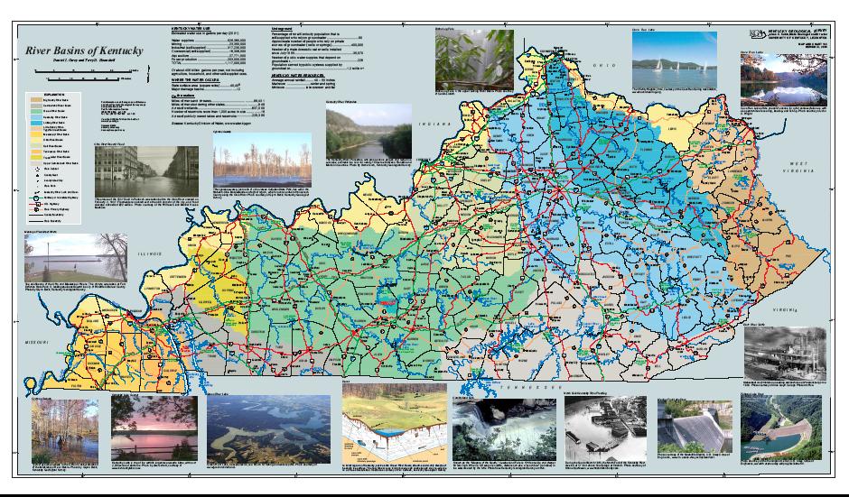
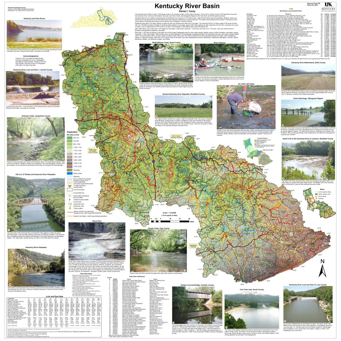
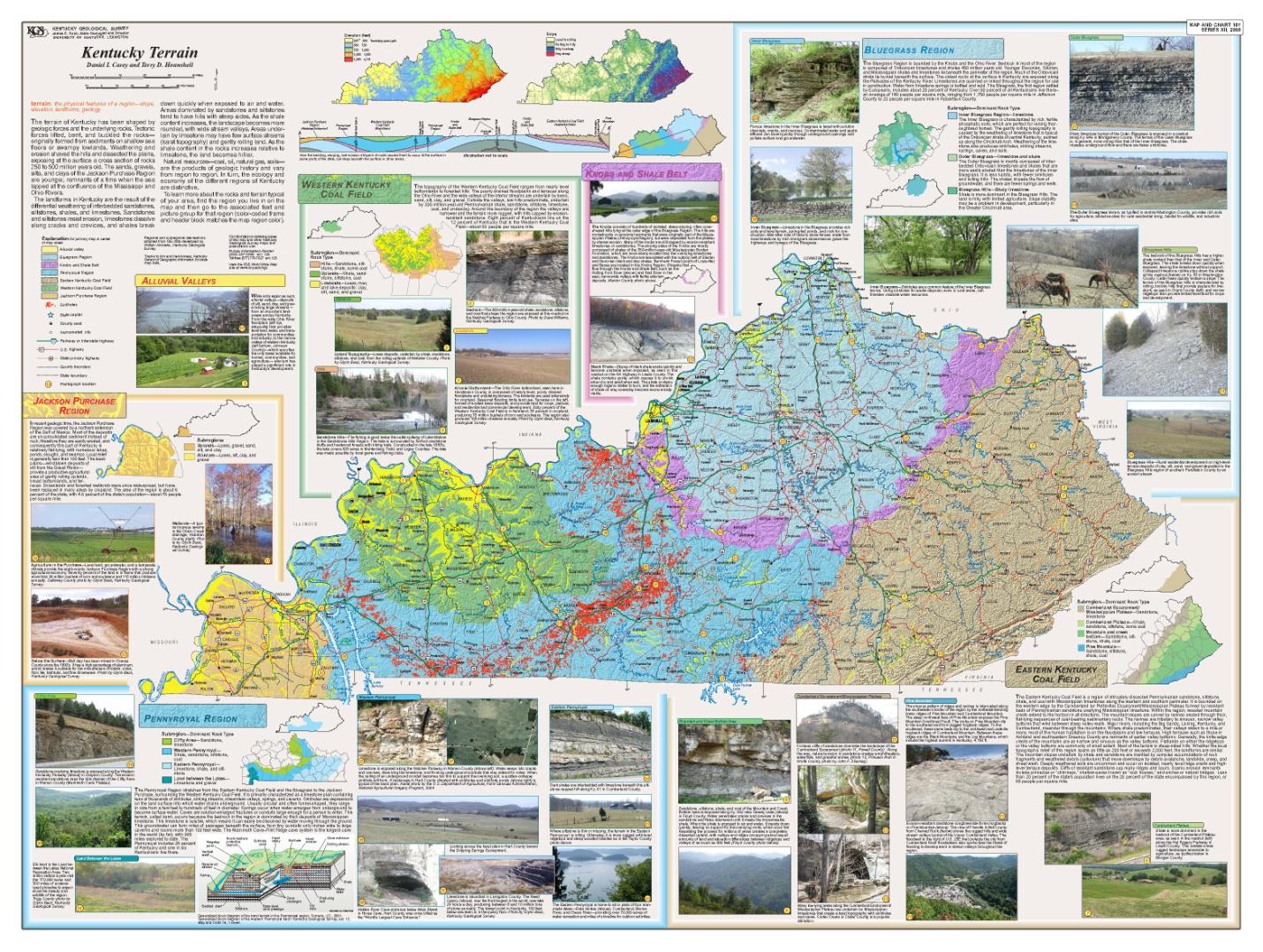
In recent years, the Kentucky Geological Survey has produced a variety of maps to help students learn about Kentucky's land and water and to better understand the place where they live, play, and may someday work and have a home. Even at an early age students like to explore maps to learn about the place where they live. We feel that this early exposure to earth science and issues of sustainability and the environment will lay the groundwork for a better-informed citizenry and, hopefully, future earth scientists.
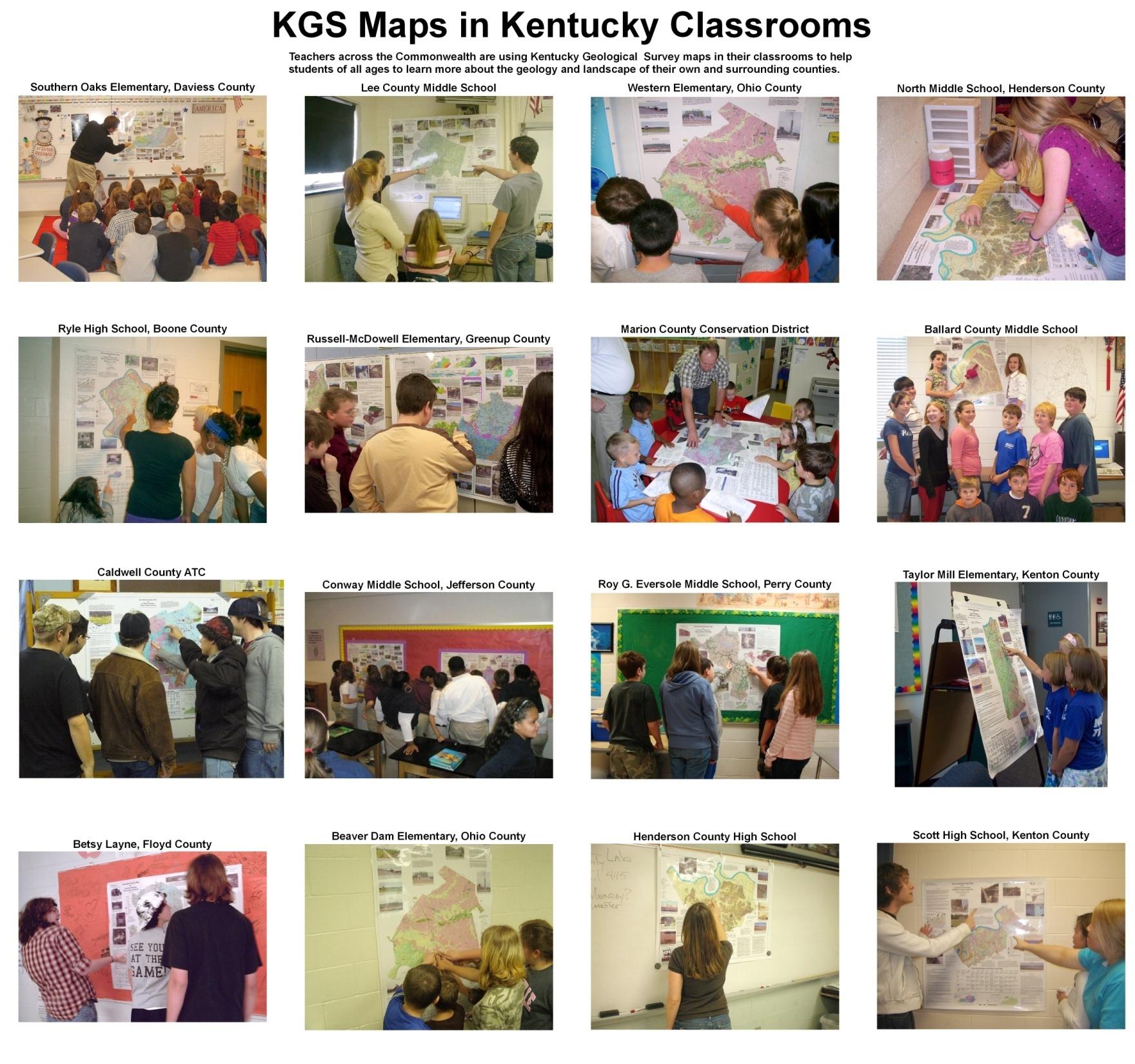
The Generalized Geologic County Maps for Land-Use Planning, originally intended for homeowners, developers, and planners, have been particularly popular in the classrooms. These maps, developed for each of Kentucky's 120 counties, help the students better understand the physical environment of their neighborhood and their county. The maps illustrate the rock types that form the foundation of the county and how the rocks may affect home, road, and commercial development, the building of ponds, recreation, etc. Photos taken in the county, diagrams, and text illustrate local issues, such as sinkholes in karst regions, or landslides in Eastern Kentucky.
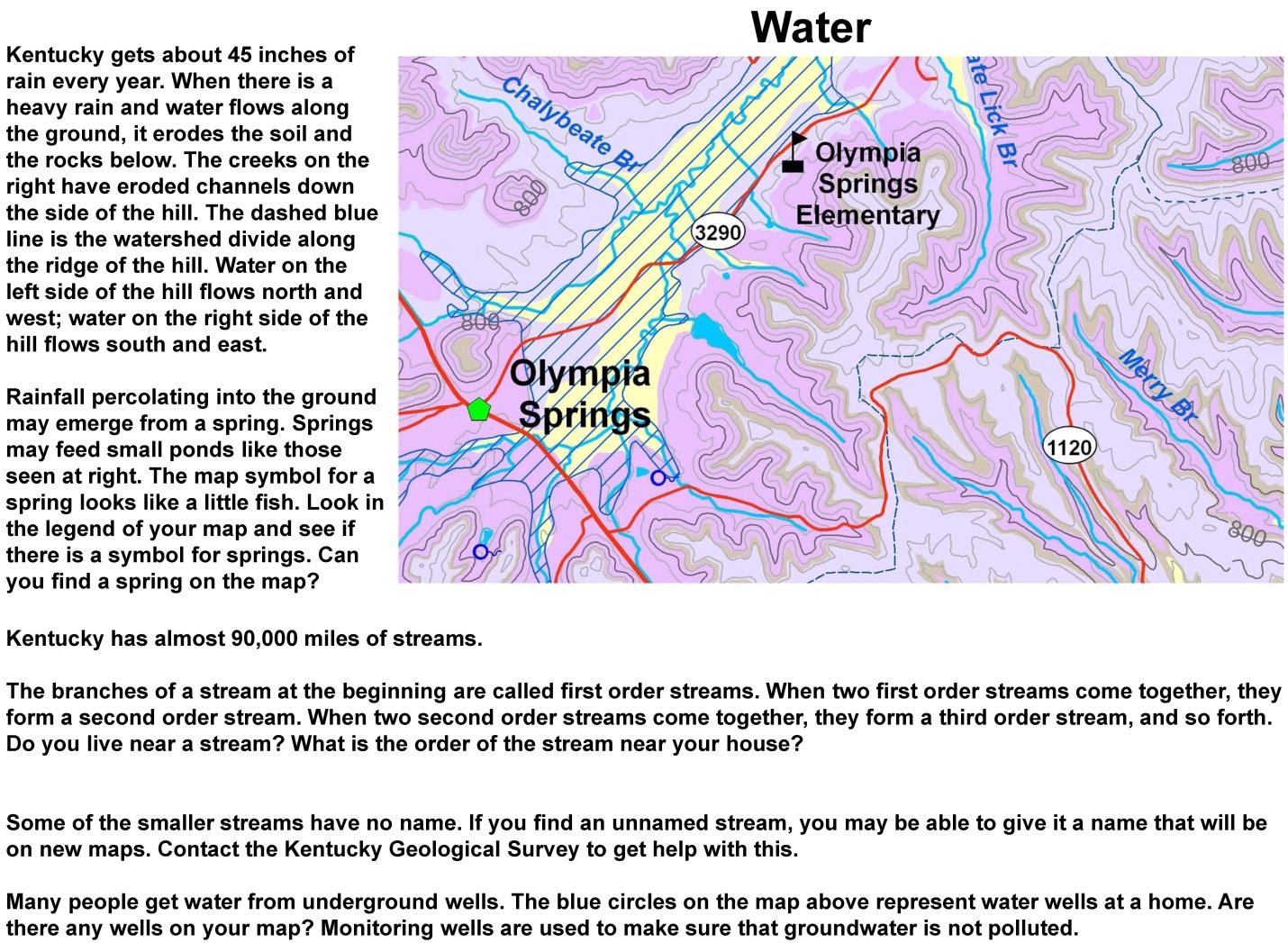
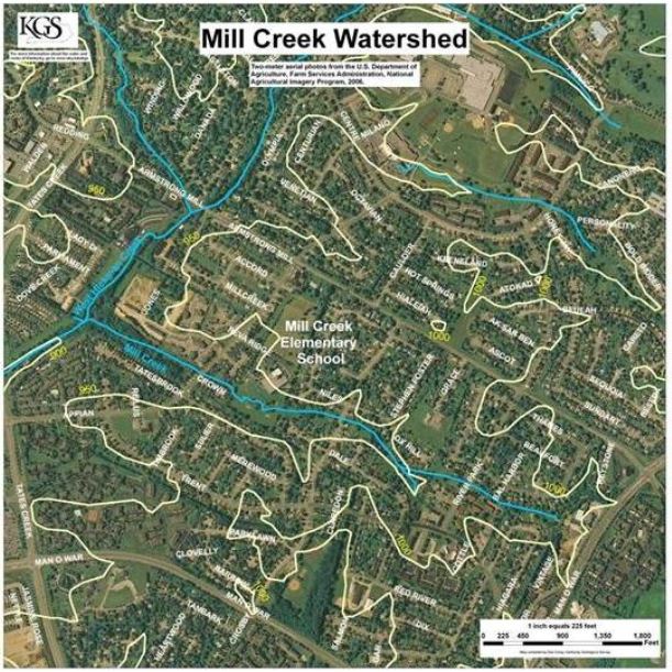
The maps help students learn about map reading, topography, geology, mineral resources, energy resources, geologic hazards, hydrology, watersheds, wetlands, ground water, water quality protection, and generally how geology can affect what we do with the land. All this in the context of the student's neighborhood: Find your school on the map. What is the elevation? If you were a bird, how far would you have to fly to get to school from your house? At 20 miles per hour, how long would it take? What kind of rock lies beneath your house? What does the map table say about this rock? What is the nearest stream to your house? Do you live in an area of karst? Are there any sinkholes in your neighborhood? Are there wetlands in your county? Why are wetlands important? Etc. Other classroom resources will use the maps to present related concepts.
The county maps have been recognized by the Geologic Society of America and the American Association of State Geologists with the 2008 John C. Frye Memorial Award in Environmental Geology, and by the Lexington-Fayette Environmental Commission 2008 Environmental Award.
GIS in Kentucky
—explaining what GIS is and how it can be used.
Kentucky has one of the finest GIS systems in the U.S. The poster, GIS in Kentucky (48"x36") explains what GIS (geographic information systems) is, the GIS infrastructure that has been developed in Kentucky, where you can get GIS resources, and what you can do with them.
Download 3.64 MB
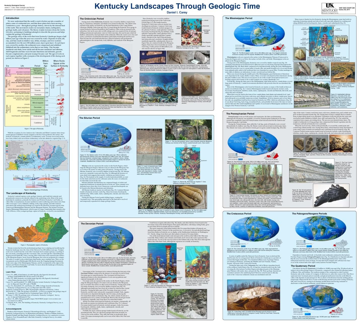
Kentucky Landscapes Through Geologic Time
—shows how the sedimentary rocks that are the foundation of Kentucky were formed when Kentucky lay beneath equatorial seas hundreds of millions of years ago
Download 6.75 MB
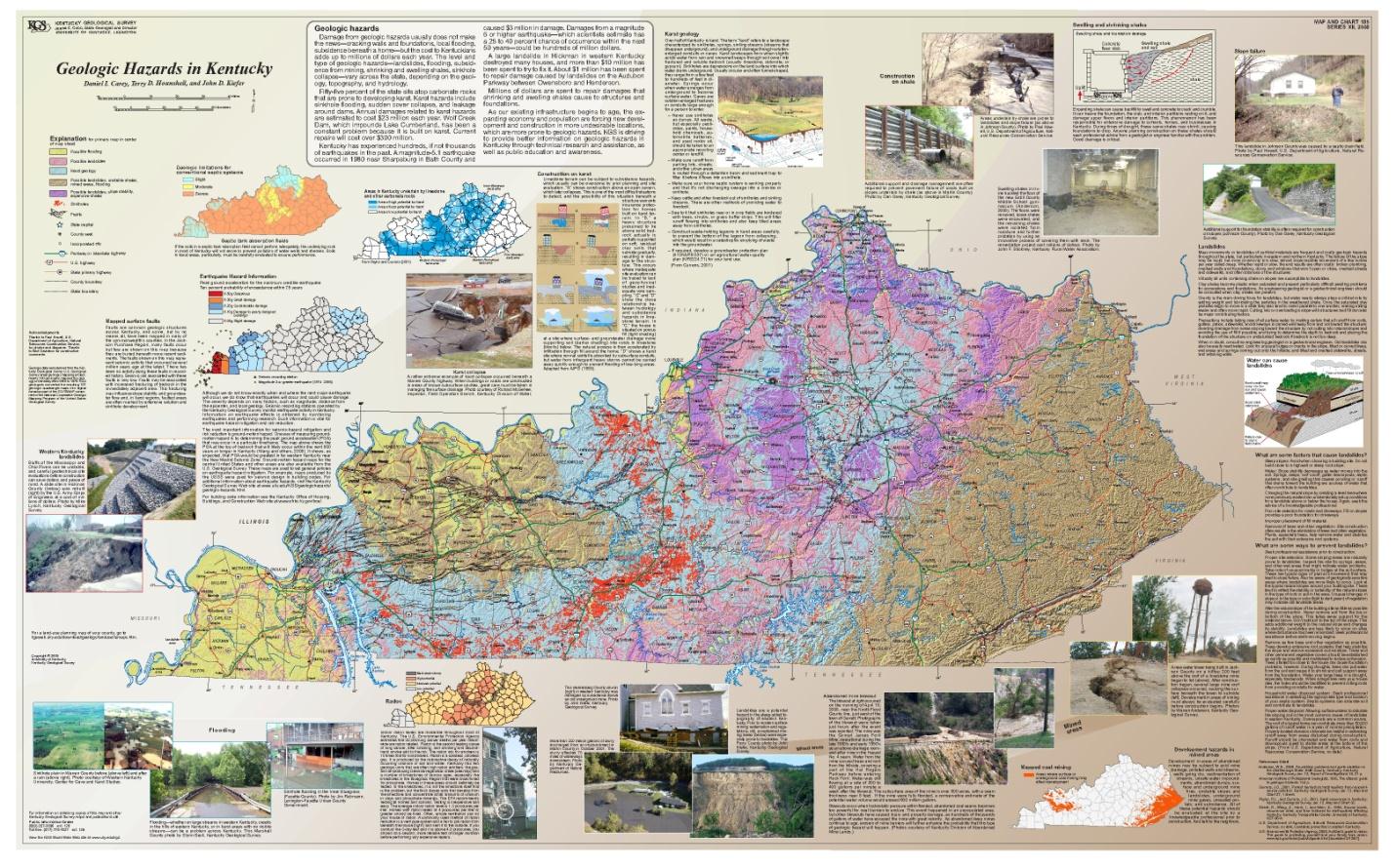
Geologic Hazards in Kentucky
— showing where hazards such as earthquakes, floods, landslides, radon, unstable and expansive shales, sinkholes, and mined areas occur
Download 19.6 MB
Learning about Kentucky's Land and Water:
Resource Materials for Teachers
Questions for the Classroom
Download
About Maps-to-Teachers program
The Kentucky Geological Survey (KGS) at the University of Kentucky (UK) seeks to expand its efforts to bring Earth Science education home to K-12 students in Kentucky by providing maps and associated teaching materials for classrooms.
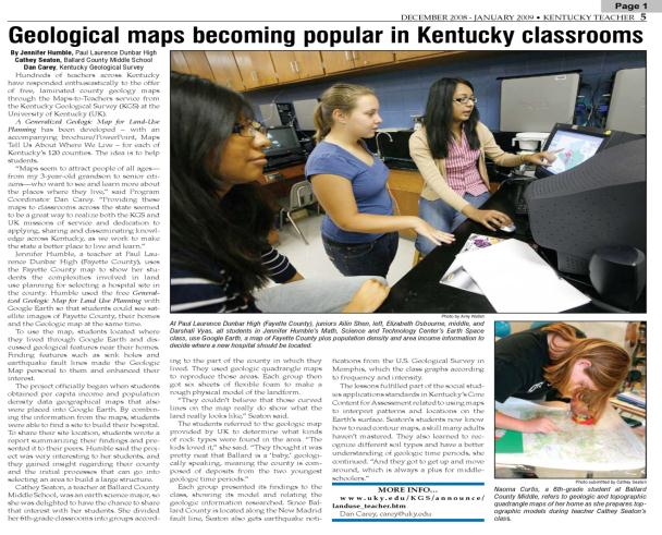
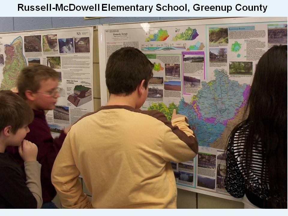
An earlier Maps-to-Teachers program at KGS was enthusiastically received by teachers and students, with maps being placed in more than 1,000 classrooms in over 400 schools. Teachers sent many pictures of students using the maps, and two classrooms were featured in the Kentucky Teacher newsletter.
